
The Reserva Nacional Los Flamencos is not one place. It is seven separate sectors scattered across the Atacama, at everything from 2,300 metres to over 4,300, and they have almost nothing in common except that they are all protected and all more or less empty. The Valle de la Luna is one of them, which means yesterday was inside the reserve too and I did not know it.


Today runs through three more of them: the salt flat, the lagoons on the salt flat, and the two high lakes south of Socaire.
The Salar de Atacama
The Salar de Atacama is 3,000 square kilometres of crust and it does not look like salt. It looks like broken coral, or like something has boiled and set — a grey-white surface torn up into fins and blades half a metre high, sharp enough that the boardwalk is not optional. Close in, one block of it has a white efflorescence growing out of the top like cauliflower. That is what the salt actually does when it is fresh.


Photographed from thirty centimetres it could be a reef. There is nothing in the frame to say whether the thing is the size of a fist or the size of a car, which is the same problem I had all yesterday afternoon and will have again at four thousand metres this afternoon.
The flamingos
At Laguna Chaxa the water is a few centimetres deep over the crust and there are Andean and Chilean flamingos working it, spread out and unhurried, at a distance that flatters nobody’s lens. They feed on the brine shrimp; the shrimp are why the birds are here and the lithium underneath is why everyone else is.

The Chilean is the one to look for, because the legs give it away — grey, with the joints picked out in red, as though the bird had been coloured in by somebody who ran out of pink.

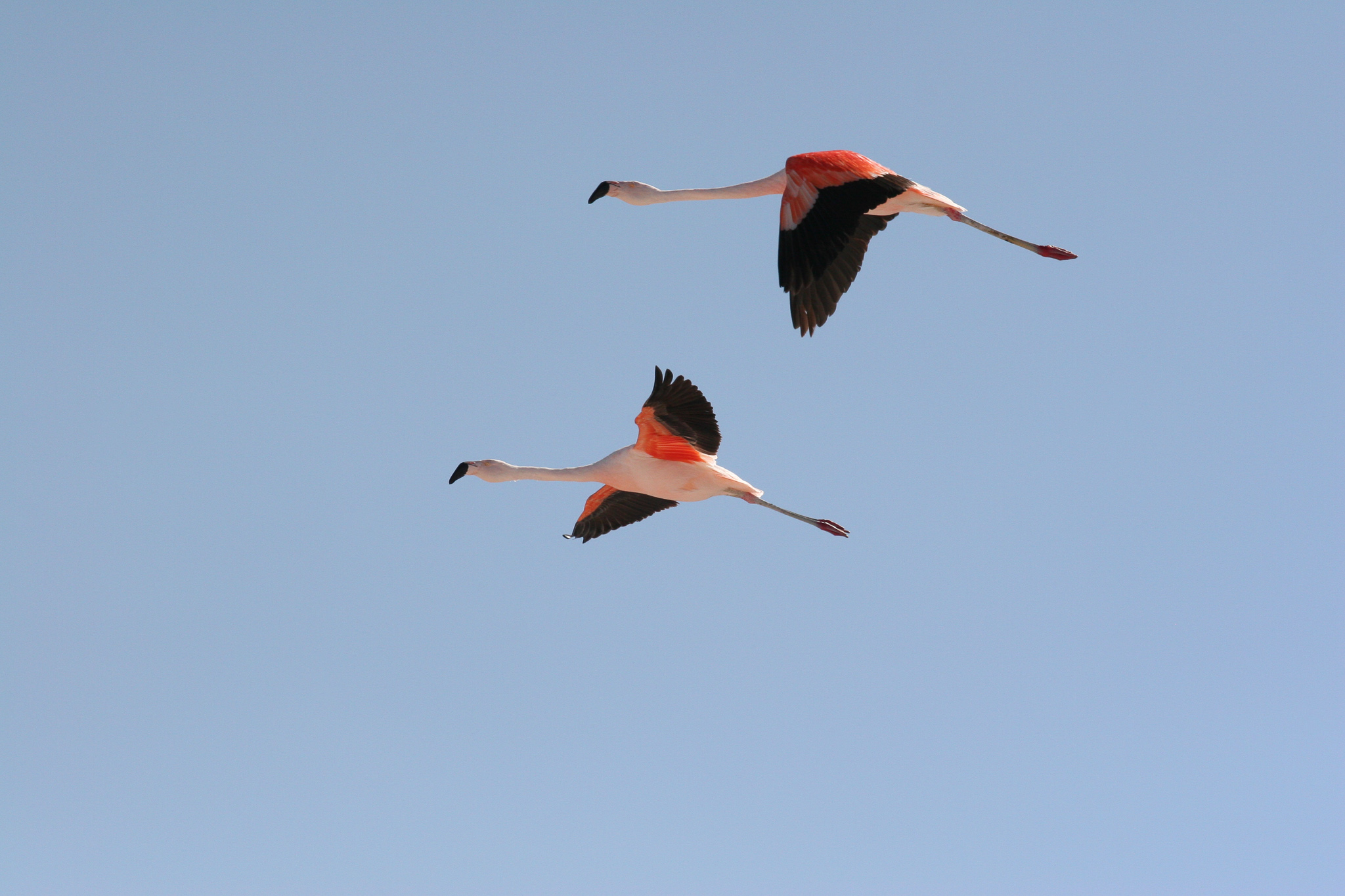
In the air they are a different animal. Two of them come over low and straight, neck stretched right out in front and legs right out behind, so that the bird is a metre and a bit of horizontal line with a small kink at the front for the head — and the wings, which look washed out at rest, open into deep crimson with black trailing edges. Against a completely clear sky there is nothing in the picture but the birds, which for once is a help.


Up to the lakes
Then the road climbs, and keeps climbing, up out of the basin onto the altiplano. The gravel runs away in front of the bus in two pale tracks towards a dark red cone, with nothing else in the frame at all — no fence, no wire, no marker, no other vehicle.

Laguna Miscanti and Laguna Miñiques sit at around 4,100 metres, one behind the other, separated by a lava flow that came down off Miñiques and cut what used to be a single lake in two. Both are deep blue with a hard white salt line around the edge, and behind them the cones — Miñiques itself, and Cerro Miscanti — dark and dry with a little snow. There is nothing growing except tufts of coirón grass. The wind is constant.


At this altitude the air does nothing to soften distance: ridges thirty kilometres off are as sharp as the grass at my feet, the sky overhead is almost navy, and walking up a slope of no consequence whatever leaves me standing still and breathing carefully for half a minute.
Toconao
Down again, and back north through Toconao, which is the other village of the salar and is built of a different material. San Pedro is brown adobe. Toconao is white, because it is built from liparita — a soft pale volcanic stone quarried out of a gorge nearby and cut into blocks with a handsaw.

The church of San Lucas keeps its bell tower apart from the church itself: square, whitewashed, an arched opening on each face, a small cross on top. It dates from 1750 and is a national monument. Out on the road there is a yellow diamond warning sign with a donkey on it, and a little further along another with two children playing football, and between them they tell you as much about the place as the tower does.
Back in San Pedro by the middle of the afternoon, and an hour in the pool at the Hostería, which is the one thing there I have no complaint about. Tomorrow the desert ends and we fly out through Calama.